U.S. Geography Quiz
A U.S. state is a constituent political entity of the United States of America. There are currently 50 states, which are bound together in a union with each other.
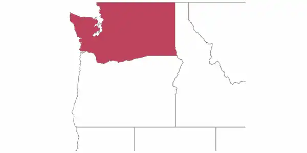
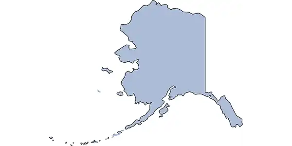
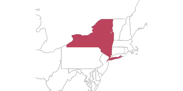
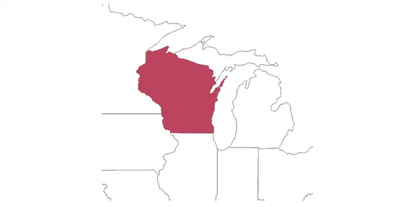
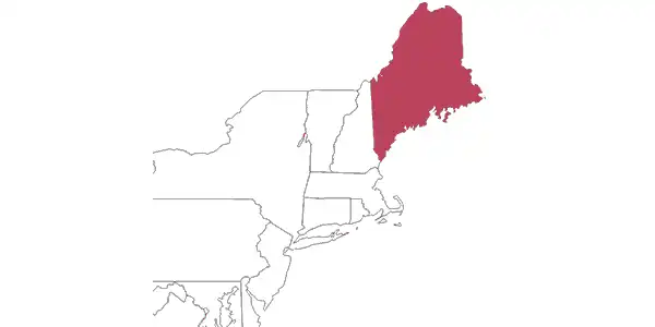
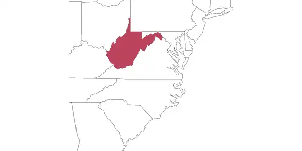
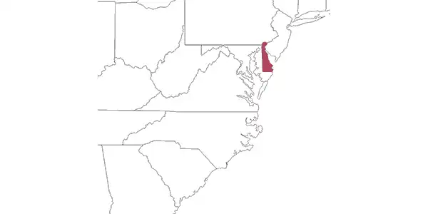
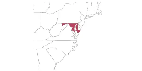
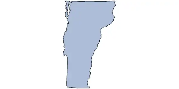
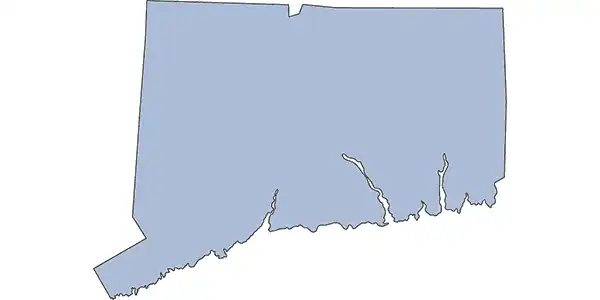
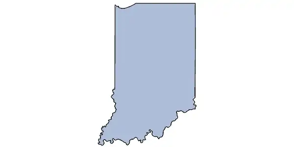
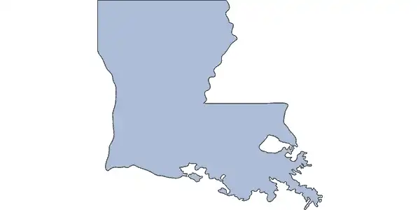
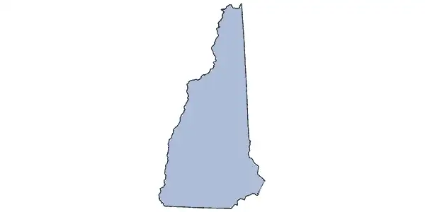
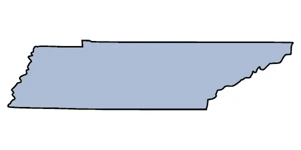
Anyone can name the 50 states. The real trick is knowing where they are. This map quiz game is here to help. Try how many of them you can recognize!
Recommend: U.S. State Shapes Quiz
- Look at the red colored area on the map, do you know what state it is?CaliforniaArkansasDelawareIowa
- Look at the red colored area on the map, do you know what state it is?GeorgiaFloridaArizonaLouisiana
- Look at the red colored area on the map, do you know what state it is?GeorgiaArizonaMinnesotaDelaware
- Look at the red colored area on the map, do you know what state it is?TennesseeMassachusettsOhioNew Jersey
- Look at the red colored area on the map, do you know what state it is?Rhode IslandSouth DakotaTexasMassachusetts
- Look at the red colored area on the map, do you know what state it is?VirginiaWashingtonWyomingOklahoma
- Can you tell the state according to outline map?AlabamaOklahomaNebraskaAlaska
- Look at the red colored area on the map, do you know what state it is?FloridaTexasWashingtonNew York
- Look at the red colored area on the map, do you know what state it is?WisconsinMaineMarylandWyoming
- Look at the red colored area on the map, do you know what state it is?MarylandMaineNew JerseyNevada
- Can you tell the state according to outline map?TennesseeNorth DakotaTexasNorth Carolina
- Look at the red colored area on the map, do you know what state it is?West VirginiaVirginiaNorth CarolinaSouth Carolina
- Look at the red colored area on the map, do you know what state it is?OregonUtahNew MexicoDelaware
- Look at the red colored area on the map, do you know what state it is?MarylandMaineNew HampshireNew Mexico
- Can you tell the state according to outline map?PennsylvaniaKentuckyKansasRhode Island
- Look at the red colored area on the map, do you know what state it is?MaineWisconsinMontanaWyoming
- Can you tell the state according to outline map?VirginiaVermontIllinoisIowa
- Can you tell the state according to outline map?ConnecticutColoradoDelawareMaryland
- Can you tell the state according to outline map?UtahMississippiIndianaIllinois
- Can you tell the state according to outline map?LouisianaFloridaCaliforniaMichigan
- Can you tell the state according to outline map?IdahoOhioColoradoIowa
- Can you tell the state according to outline map?GeorgiaArizonaKansasNew Mexico
- Can you tell the state according to outline map?VermontNew HampshireNew JerseyMaine
- Can you tell the state according to outline map?KentuckyTennesseePennsylvaniaMassachusetts
- Can you tell the state according to outline map?UtahNevadaMinnesotaArkansas
- Can you tell the state according to outline map?WyomingMontanaSouth DakotaNorth Dakota
- Which state is abbreviated as MI?MichiganMinnesotaMississippi
- Which state is abbreviated as HI?HawaiiHonolulu
- Which state is abbreviated as ID?IdahoIndiana
- Which state is abbreviated as MS?MississippiMissouriMassachusetts